THE OBSERVATION LIBRARY Look at the Ice, rock and impact basins. Explore real images from the missions and field work behind the research.
Every image has a source, a date and a connection to the book. Open one to see what was observed and how the view was made.
Browse 14 images ↓ FROM THE SOURCE
An atlas of observations. Photographs, satellite scenes, mosaics and data products keep their original identities. They offer places to look closely as you follow the authors’ account.
14 images · original sources linked
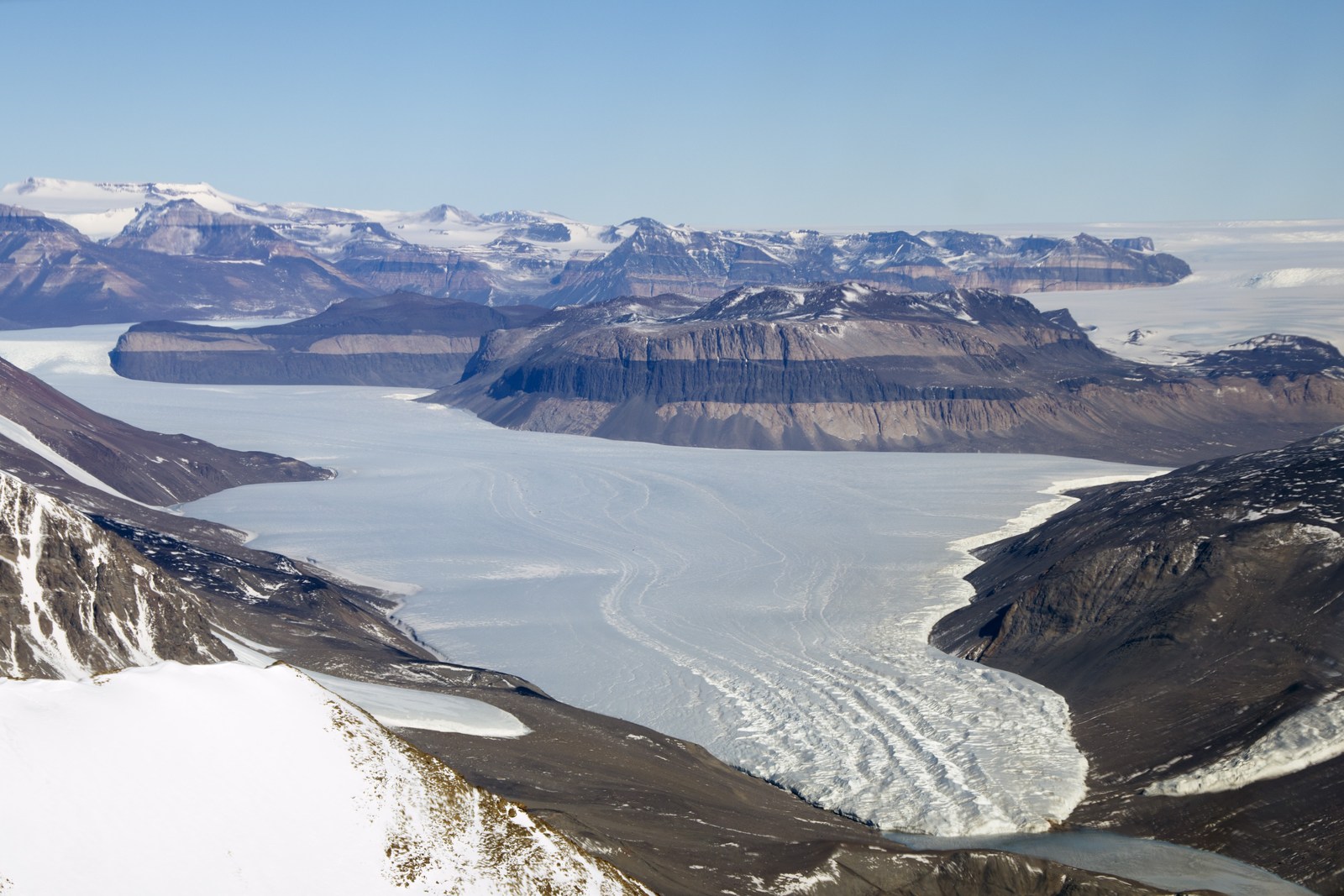
Inspect image ↗ Earth / Aerial photograph
Taylor Glacier lies beside exposed, banded rock in Antarctica’s Dry Valleys. NASA identifies sandstone layers cut by a darker dolerite sill.
Michael Studinger / NASA Operation IceBridge
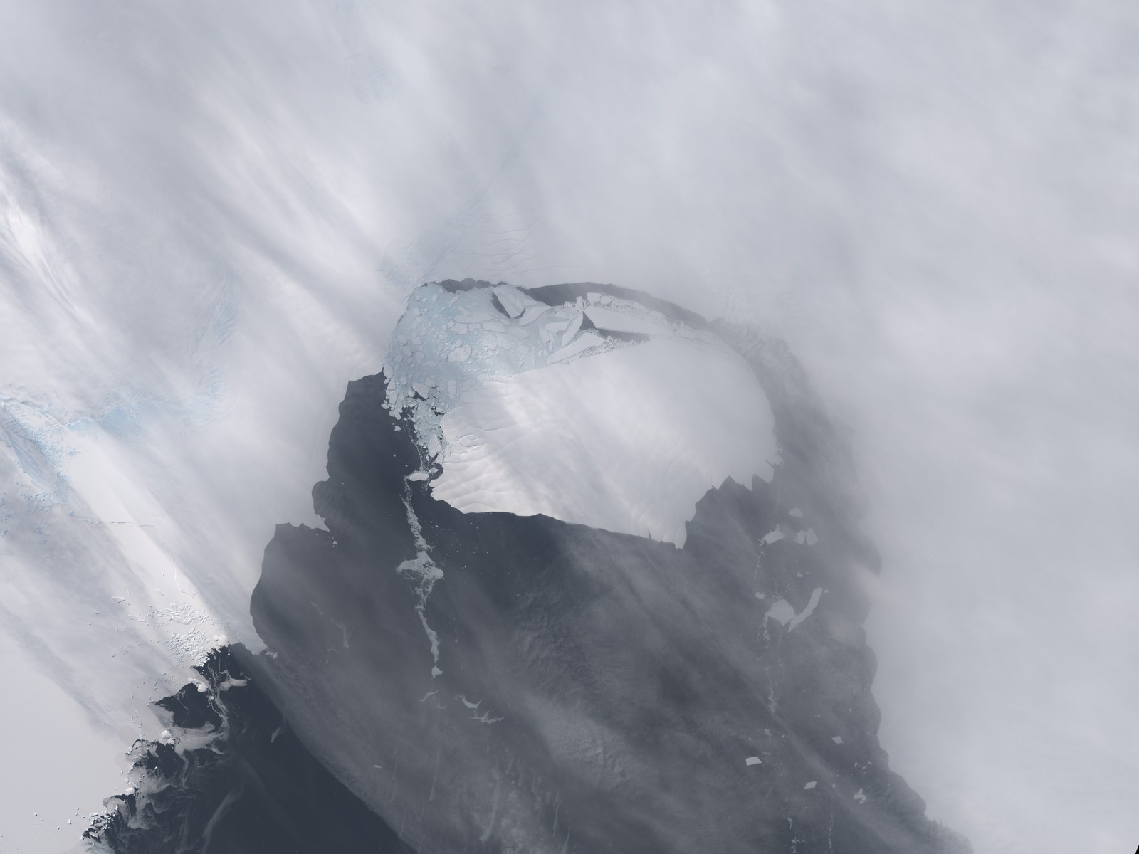
Inspect image ↗ Earth / Satellite image
The detached iceberg B-31 lies in front of Pine Island Glacier following its November 2013 calving event.
NASA Earth Observatory image by Holli Riebeek, using Landsat data from the U.S. Geological Survey
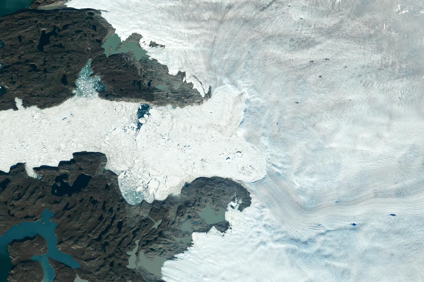
Inspect image ↗ Earth / Satellite image
Jakobshavn Isbræ’s ice front and iceberg-filled outlet are visible on Greenland’s west coast. NASA supplies a separate 1985 comparison on the source page.
NASA/USGS
Inspect image ↗ Earth / Satellite image
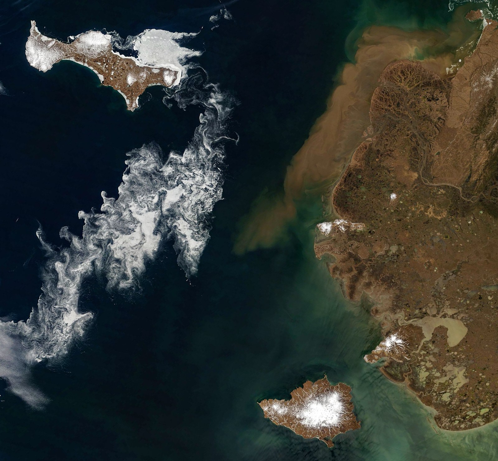
Sea-ice fragments curl around Saint Lawrence and Nunivak islands; sediment-colored water follows the Yukon Delta coast.
NASA Earth Observatory images by Michala Garrison, using MODIS data from NASA EOSDIS LANCE and GIBS/Worldview
Inspect image ↗ Earth / Infrared composite
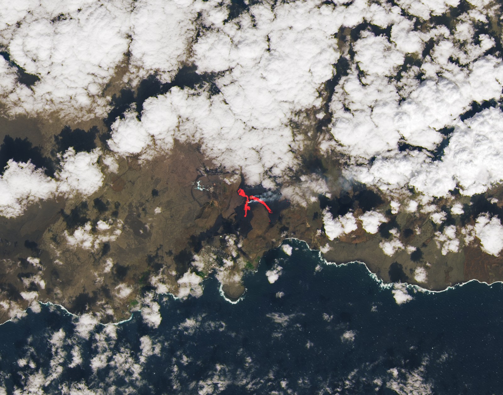
Fresh and cooled lava surround a Reykjanes fissure. NASA overlays an infrared signal on natural color to reveal the hotter active areas.
NASA Earth Observatory image by Lauren Dauphin, using Landsat data from the U.S. Geological Survey
Inspect image ↗ Earth / Underwater photograph
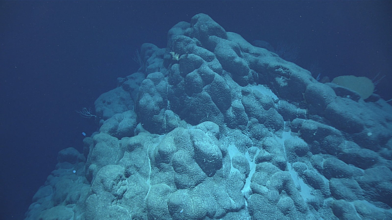
Rounded, overlapping pillow-lava forms lie on the seafloor beneath the camera’s lights.
Hires/NOAA Office of Ocean Exploration and Research
Inspect image ↗ Earth / Field photograph
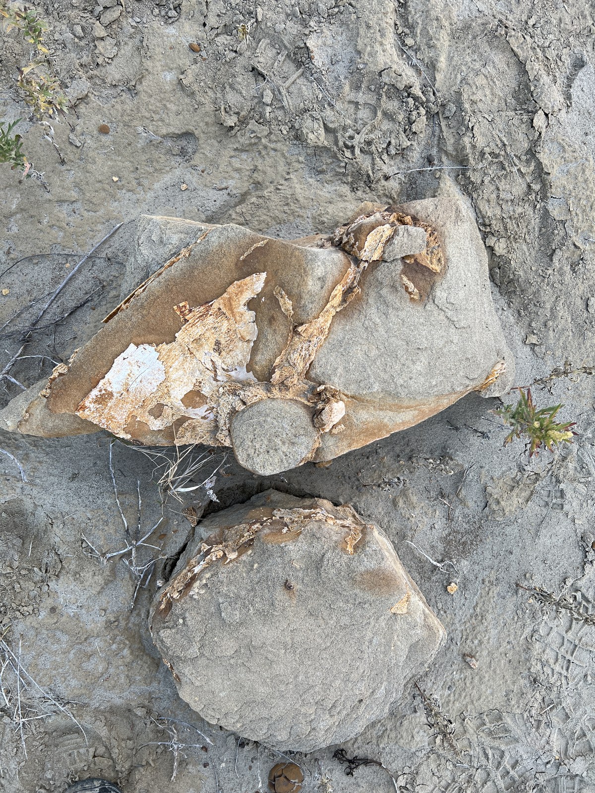
Pale fossil fragments contrast with the surrounding rock at Charles M. Russell National Wildlife Refuge.
Katie Aiello/USFWS
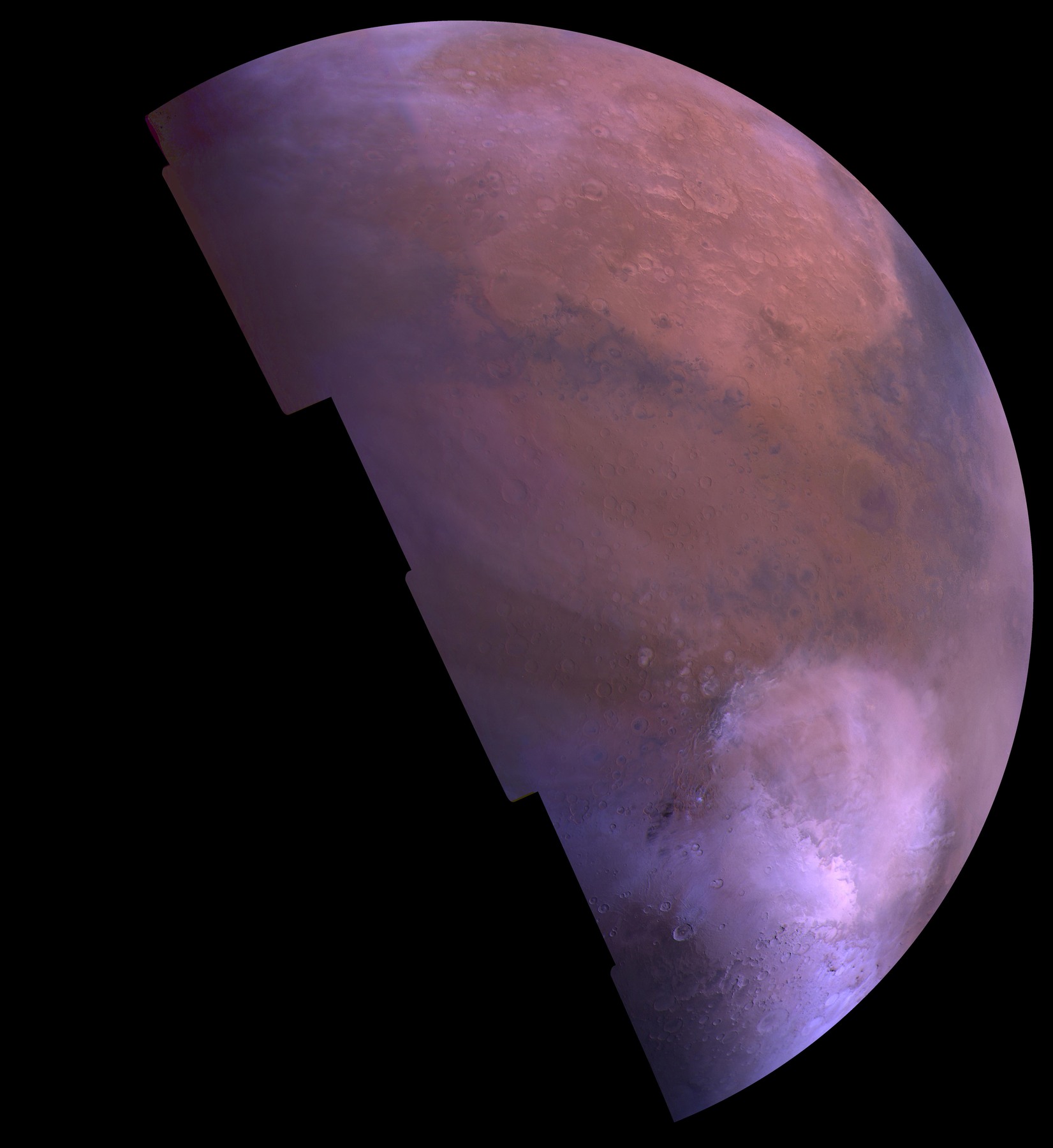
Inspect image ↗ Mars / Color photographic mosaic
Viking resolves the vast Hellas depression in Mars’s southern hemisphere. In this seasonal view, bright carbon dioxide frost fills part of the basin.
NASA/JPL/USGS
Inspect image ↗ Moon / False-color topographic visualization
LOLA measured the immense depression on the lunar far side. In this map, blue and purple reveal the low basin while red marks higher surrounding terrain.
NASA/Goddard Space Flight Center Scientific Visualization Studio
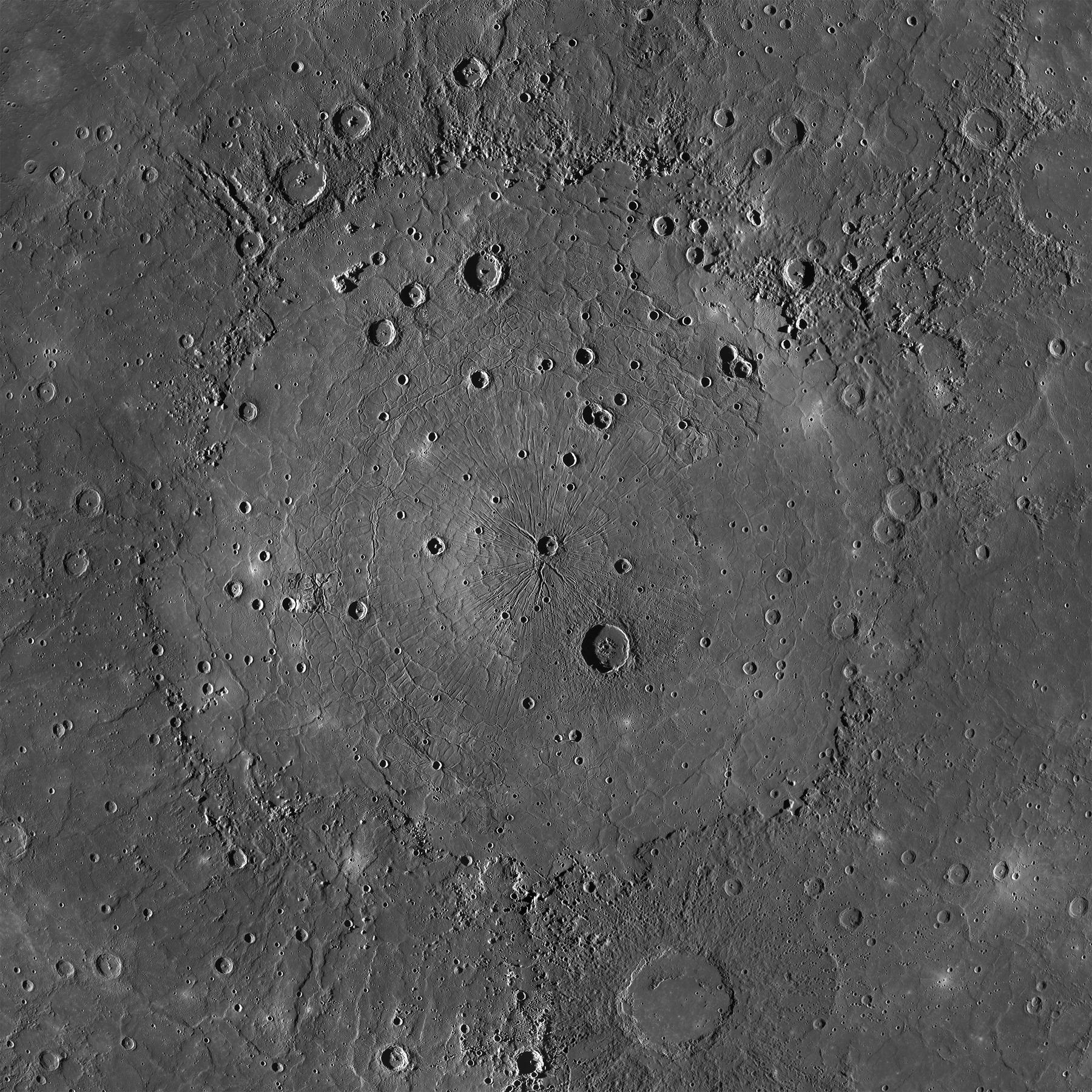
Inspect image ↗ Mercury / Grayscale photographic mosaic
MESSENGER shows Caloris’s broad interior plains, later impact craters and a complex record of deformation and volcanic filling.
NASA/Johns Hopkins University Applied Physics Laboratory/Carnegie Institution of Washington
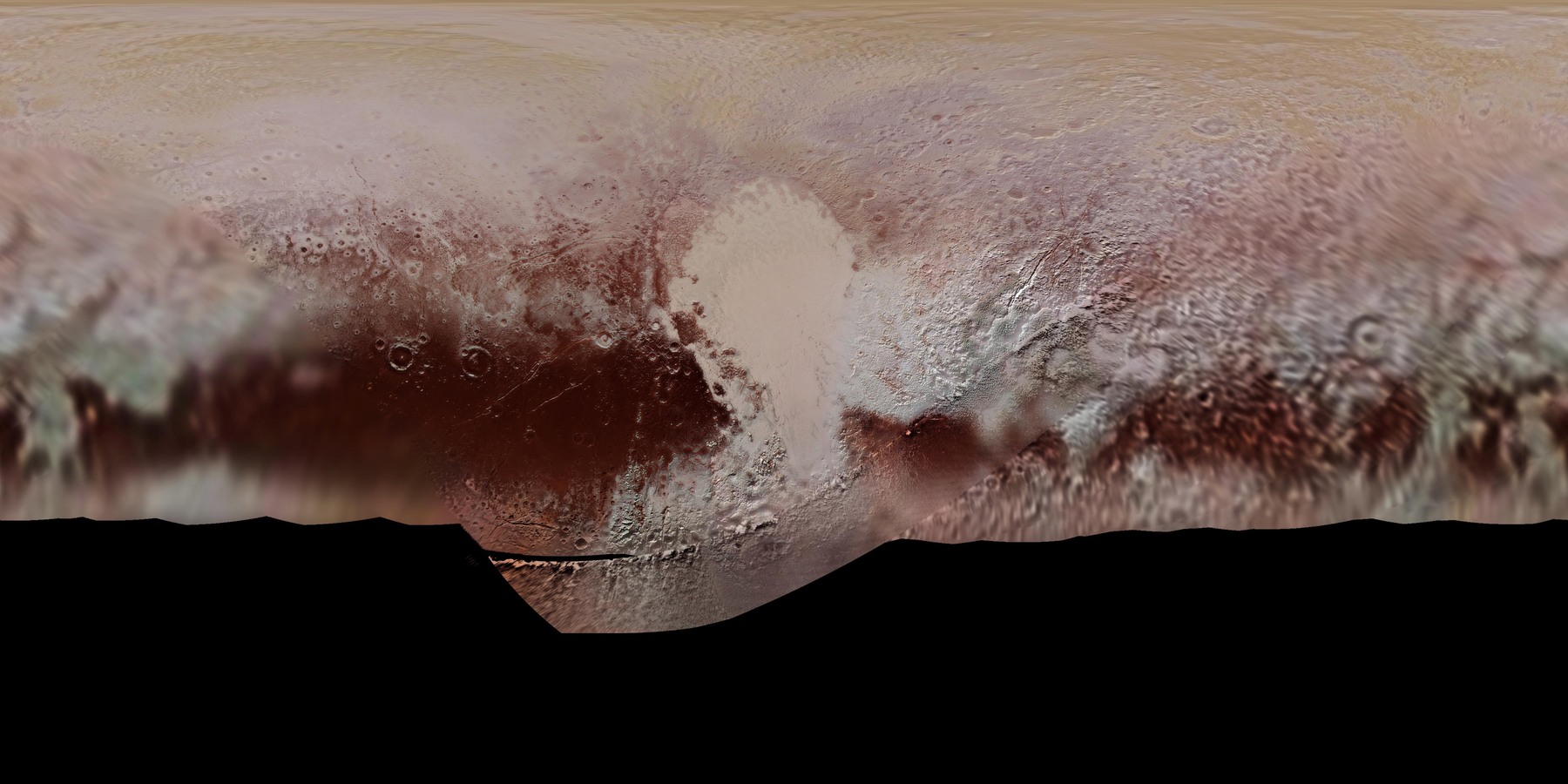
Inspect image ↗ Pluto / Projected color photographic mosaic
New Horizons mapped Sputnik Planitia as the bright western lobe of Pluto’s heart-shaped region. Its outline sits within a varied, colored landscape.
NASA/Johns Hopkins University Applied Physics Laboratory/Southwest Research Institute
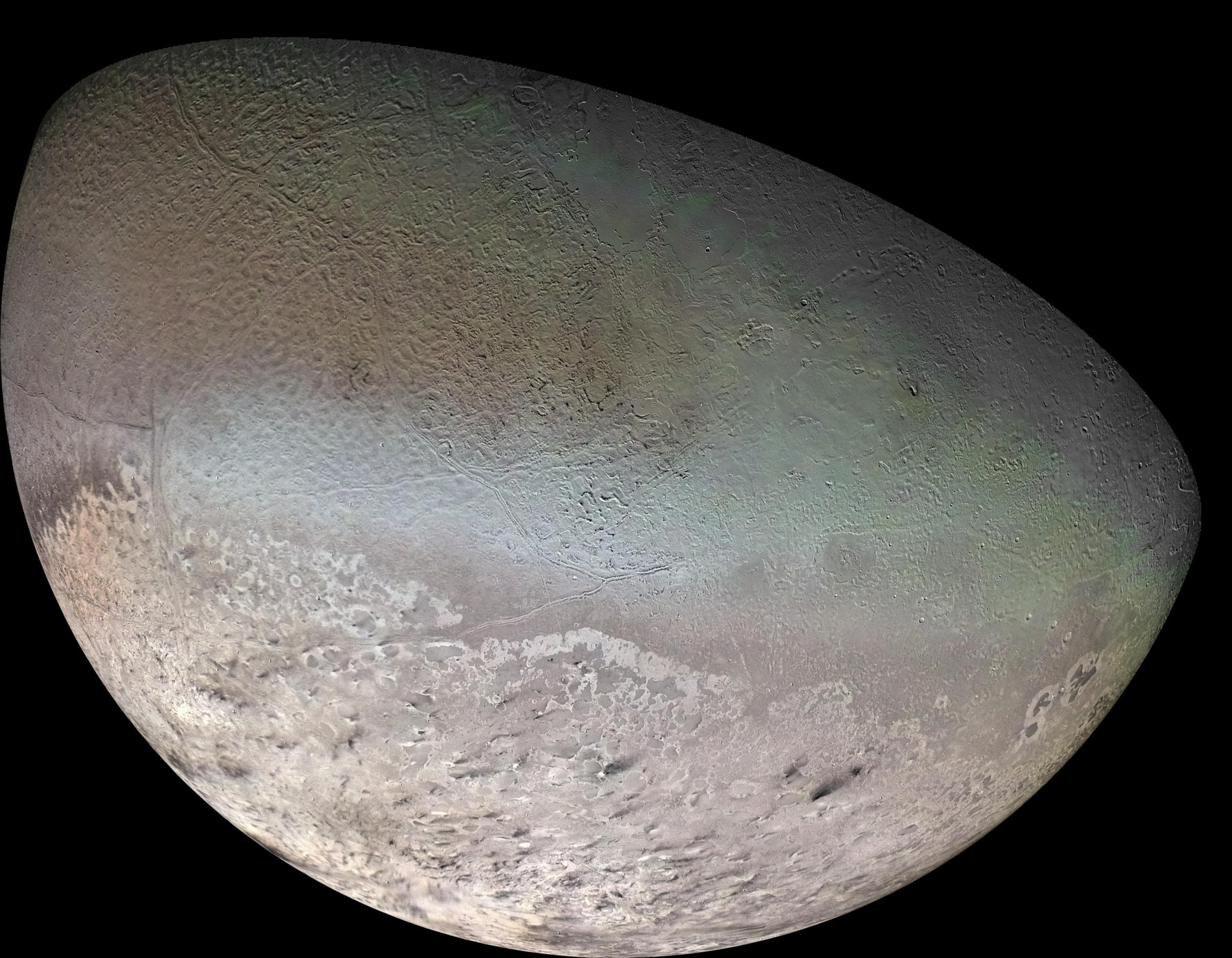
Inspect image ↗ Triton / Synthesized-color photographic mosaic
Voyager 2 revealed a polar cap and dark streaks associated with plume deposits on a world with nitrogen frost. The mapped terrain is varied rather than featureless.
NASA/JPL/USGS
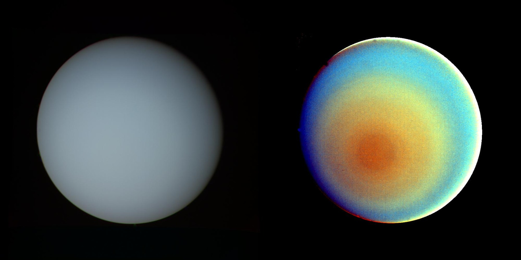
Inspect image ↗ Uranus / True-color and false-color composites
The same atmosphere looks quiet in approximate true color and banded when false color and contrast reveal subtle polar structure.
NASA/JPL
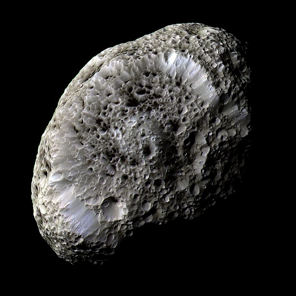
Inspect image ↗ Hyperion / False-color photographic composite
Cassini’s close encounter exposes Hyperion’s distinctive craters. Low density, porosity and weak gravity help explain the unusual surface appearance.
NASA/JPL-Caltech/Space Science Institute No images match that search. Try a world, a mission or a different image type.
Show all images JavaScript is off. All images, source credits and chapter links remain available above. Open a source page for the complete image record.
KEEP EXPLORING A close view. The book supplies the narrative. These observations are a separate collection: an image can show a landform without establishing its cause or age.